Reservoir modelling of sedimentary systems is important to understand subsurface geology, and is widely used in the oil and gas industry, CO2 capture and storage and aquifers. The models can be constructed based on facies interpretations using outcrop analogues, which are made available in databases such as SAFARI. Geostatistical modelling has been recently complemented by multipoint statistics (MPS). MPS offer advantages over traditional techniques, but its application is hampered by the need for case-specific, volumetric training images (TI). TI creation demands a rapid interpretation of virtual outcrop models (VOMs) and new workflows for doing so.
VOM2MPS is a knowledge-building research project that addresses gaps in the rapid interpretation of outcrop models, the creation of MPS Tis and industry-applicable modelling workflows for generating and working with TIs. It builds on a large number of collected virtual outcrops within the SAFARI project. VOM2MPS is split into two interlinked parts, actively being addressed by one PhD candidate each. The project leading, coordination and student supervision is provided by Dr. Simon J. Buckley (Uni Research) and Prof. John A. Howell (University of Aberdeen).
James R. Mullins (Aberdeen) works on geological research aspects, aiming at establishing an industry-applicable workflow for MPS TI generation from outcrop interpretations and virtual outcrops. The TIs are subsequently used in stochastic MPS modelling procedures. A library of training images, linked to SAFARI, is prepared from the outcrop studies conducted during the research period. The scientific research focuses on large-scale, stochastic reservoir modelling to study reservoir uncertainties caused by heterogeneities. The project is investigating other TI sources, such as process-based models and sediment simulation outputs.
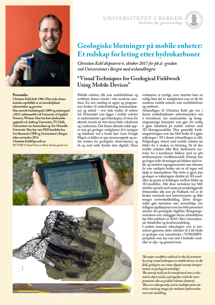
Christian Kehl (Bergen) is working on computer-scientific and geomatics research aspects, researching novel- and refining existing algorithms for the rapid interpretation and facies mapping of virtual outcrop models. The techniques are implemented on ubiquitous and increasingly powerful mobile devices, which are simple to operate in the field and equipped with a large array of 3D spatial sensors. The project scenario employs available VOMs from the SAFARI database being quickly interpreted during fieldwork campaigns to maximise the information value of VOMs and fieldtrips alike. A high-fidelity geological field app for mobile devices is the practical outcome. The scientific focus is on developing and assessing novel techniques in geomatics, computer vision, computer graphics and visualisation, running on power- and performance-limited devices, allowing rapid and intuitive outcrop interpretations. The mobile device interpretations are further exported to be used for the MPS TI generation.

Outcrop photos are captured and coarsely geo-registered via mobile devices (e.g. tablets) during fieldwork. The photos are interpreted with respect to stratigraphy, sedimentology and their structural features. After establishing an image-to-geometry mapping, the interpretations can be directly projected and viewed in 3D during fieldwork on the tablet.


